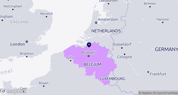
Antwerp
Belgium
Cities are always evolving, as are the variety and availability of urban data. Antwerp (BE) invests in a smart city strategy and strives to be a “walkable city” with mixed, high-quality neighbourhoods. To do so, for nearly a decade Antwerp has been using an “urban data scan” which maps out specific needs, problems and opportunities. Multitudes of geo- and statistical data are structured around different themes to provide a clear overview of the most relevant data. This allows policymakers to develop substantiated visions and make informed spatial decisions. Progress can be monitored for all kinds of projects and developments. Two online platforms share these data and maps with city employees, citizens, companies, project developers and other cities. The urban scan is all about optimising and sharing data, preparing good spatial decisions, and building a better city for all our citizens and partners.
This ressource is a summary. To view the full ressource, please use the link below.
About this resource
URBACT is a European Territorial Cooperation programme that enables the cooperation of European cities within thematic networks since 2002. The programme also provides capacity-building activities and tools, and shares knowledge and good practices to city representatives and urban practitioners.

Similar content