Data Aspects in Urban Mobility: experiences of 5 UIA projects

Data within cities are flowing constantly – cities are measuring air quality at intersections, sharing electricity with the grid or using it via the power lines, count passengers on board of buses or underground users via smart tickets – the opportunities to see beneath the surface of our cities goes beyond our imagination. Sensors and automatically generated data provide local authorities with new opportunities to understand, manage and influence mobility patterns. Therefore, unlocking data potential is one of the main challenges EU Urban Authorities face when implementing sustainable mobility strategies. In this context, how UIA projects deal with data as a resource to support sustainable mobility strategies ?
Combination of conventional survey and automated-processed-data
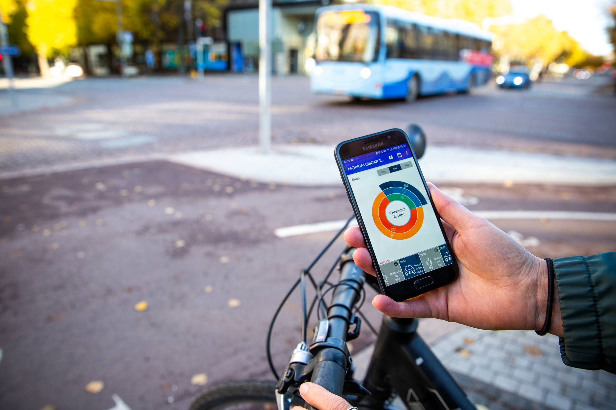
Digitally generated data coming from sensors and mobile phone apps on the other hand, have significant advantages in terms of fineness, coverage, efficiency, reliability and speed. ICT that collects real-time data offers the opportunity to improve conventional survey and traffic counting methods, enabling the comparison and sharing of data, decreasing sampling bias, reducing respondent burden and increasing quality. Thus, when accurately collected and processed, data represent a great source of information, indicators and user-experience valuable both for the Urban Authority and the citizens. For instance, processed data can help anticipate passenger flows and therefore, in the longer term, optimize transport-planning investments as it the case in Alberstlund. In Szeged, new sensors installed at Public Transport (PT) services contribute identifying patterns and optimizing PT capacities to adapt public transport services, routes and corridors. For the city of Ghent, the most important data source is a 3-years survey organized with the inhabitants. This survey allows the municipality, amongst others, to make modal split estimations, as well as estimations of vehicle ownership.
Shaping performance indicators with a user-centred approach
As travel experience is a decisive factor for citizens to opt for a given transport mode, it is crucial to develop New Key Performance Indicators (KPIs) that could reflect citizens’ satisfaction levels. As qualitative data collection can be made easier with sensors and smart phone applications, new KPI indicators could include personal travel experience and overall qualitative satisfaction levels, based on digitally generated data.
However, managing such diversified and massive amounts of automated data is challenging especially when data is created and collected with neither pre-defined nor specific purpose. Indeed, municipal processes are not always in place for cities to work with digital data and identifying their biases and blind spots. Therefore, municipalities need to develop data governance strategies.
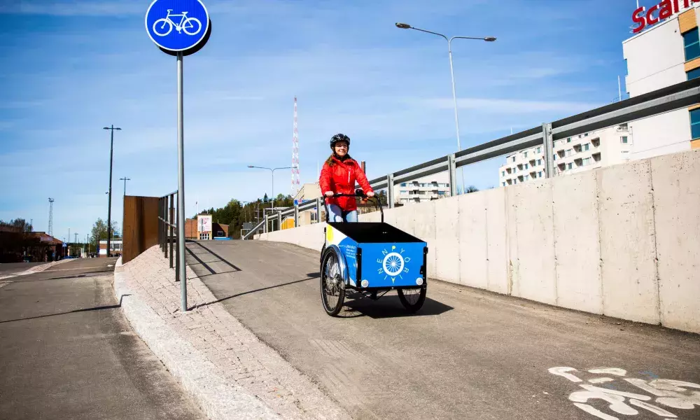
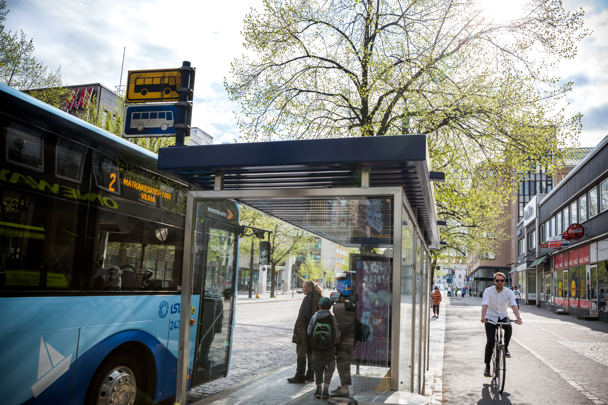
The shift towards open data methods, merging information from all mobility services and modes, benefits sustainable mobility, reduces travel times and supports dynamic journey planning. Encompassing public and private transport providers and modes, including new, sustainable modes such as car-sharing stations, e-car charging points, bike-sharing locations car-pooling, together with cycling and walking options can highly benefit sustainable mobility within cities and can guide transport providers and citizens towards sustainable mobility.
Lahti Region Transport for example is exploiting open data opportunities by offering free journey planner applications encompassed within Google’s Transit Trip Planner application. Such regionally organized public transport managing structures are more suitable to match the functional urban areas and thus better serve the mobility needs of the citizens in agglomeration areas.
Thus, data has the potential to disrupt the car-dominated transport sector for the better and reinvent transport services towards a larger scale and more sustainable business model that serves customer needs more efficiently.
Knowing the new horizons data has to offer for city authorities, another question arises in how cities can prepare for adequate data management, especially regarding the large amounts of complex, heterogeneous and geographically distributed data sources (citizens, traffic, vehicles, city infrastructures, IoT devices, etc.) to create relevant performance indicators for services assessment, and use them as decision-making tools.
Thus, handling data management presents great coordination and cooperation challenges that should be dealt with at municipal level, so that data sets can communicate with each other. Municipalities therefore develop cooperation strategies within their administrative departments, while also setting agreements with private service data providers (e.g. TomTom, Waze or Google). The city of Lahti, for example, is prepared to work together with new service providers: when new e-scooter providers land in the city, they will be required to open their usage data to be shared over the city’s single data platform. Others, such as Toulouse Metropole, opted for a collaborative governance model involving both the public and private mobility stakeholders to use shared data to carry out assessments, design strategies, deploy action plans, measure the impact of the actions and finally adapt the strategies and the action plans.
Professional data analysis within the municipalities requires new skills. Traditional competences of civil servants are not always suitable for data analysis. It will therefore be necessary to raise awareness / train workforce within municipal departments and public transport service providers on the field of data analysis to meet the challenges of tomorrow.
New, big data analysis can be used within municipalities to:
- enhance road safety and improve air quality,
- influence city development and improve problematic traffic situations (accidents and road works) and related congestion,
- change mobility behaviours towards more sustainable modes of transport,
- foster better and adapted political decisions, especially when dealing with unexpected event or extreme situations (epidemics), pollution peaks or strikes,
- optimise public transport capacities.
Find more about the next steps of the knowledge activity on urban mobility here. A final report on innovative mobility projects will also be produced, together with dissemination activities end of 2020.
Stay tuned to the UIA #KnowledgeLab and our social media platforms @UIA_Initiative for updates, results and findings.
Learn more about UIA mobility projects and look at:
- the interview of Lahti project manager
- the video of Ghent's project TMasS
For more information, please contact Iraklis Stamos, i.stamos@uia-initiative.eu
About this resource
The Urban Innovative Actions (UIA) is a European Union initiative that provided funding to urban areas across Europe to test new and unproven solutions to urban challenges. The initiative had a total ERDF budget of €372 million for 2014-2020.

Similar content

