GOVERNANCE ChallengeThe efficiency of public services operations for residents, according to their needs, through an e-platform which covers different fields in terms of public services. SolutionThe Kalisko-Ostrowska Agglomeration has taken significant steps towards the development of a smart functional area by implementing a Geographic Information System (GIS) and a Regional Integrated Spatial Information Infrastructure platform. This project was co-financed by the European Union from the European Regional Development Fund under the Wielkopolska Regional Operational Program for 2014-2020, Priority Axis 2: Information Society. This solution is a valuable initiative that benefits the local community, improves the quality of public services, and contributes to the regional development objectives of the Kalisko-Ostrowska Agglomeration and the European Union. The impact of this project on the community is substantial, as it provides an access point for the distribution of integrated data and spatial e-services to both the local public administration and the local community. The implementation of the GIS technology enables better management and use of spatial information, leading to improved decision-making, planning, and development. As such, the platform consists of three basic parts: information page – a guide to data and services of the RIISIP AKO system, available at – https://akoportal.pl a map page – presenting and sharing official data and information (but not only) in spatial form – for ease of use, these data were organised and presented in the form of thematic blocks called map profiles – https://mapa.akoportal.pl pages with data registers – with both spatial reference (the possibility of presentation on a map) and non-spatial (presented only in tabular form) available at – https://dane.akoportal.pl There are 21 local government units within the Kalisko-Ostrowska Agglomeration that benefit from the GIS technology. The number of residents who benefit from access to integrated data and spatial e-services through the platform is 385,437. The project resulted in cost and time savings for local government units and the community due to improved decision-making and planning, and the increased efficiency of public services. The tool increased the level of spatial information available to the local and regional authorities, as well as a wide range of other stakeholders, such as investors, in taking evidence-based strategic decisions. Other best practices Tourism, culture and brandingHarnessing the Untapped Potential: The All-Season Tourism Masterplan for Jiu ValleyJiu Valley & Jiu ConurbationContinue reading Best Practices | Urban regenerationUrban-rural linkages: regeneration of public spaces in the Cluj Metropolitan AreaCluj-Napoca Metropolitan AreaContinue reading Governance | Strategic planningIntegrated Development Strategy of Brno Metropolitan AreaBrno Metropolitan AreaContinue reading 12Next
About this resource

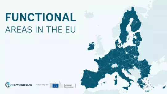
In 2021, the European Commission launched a pilot project to improve functional area approaches in the EU and has partnered with the World Bank to implement this initiative. As part of the project, the project team collaborated with 12 functional areas from seven EU countries, providing them with tailored technical support and assistance: Zagreb Urban Agglomeration (Croatia), Brno Metropolitan Area (Czech Republic), West Athens (Greece), Lake Balaton Area (Hungary), Kalisz-Ostrów Agglomeration, Kraków Metropolitan Area (Poland), Jiu Valley and Jiu Conurbation Functional Area, Caraș-Timiș Functional Area, Cluj Metropolitan Area, Oradea Metropolitan Area, West Ialomița Functional Area (Romania), and Trenčín Functional Area (Slovakia).
Similar content